A study led by University of Reading scientists has won ‘Best Interdisciplinary Application 2021’ by SPIE Journal of Applied Remote Sensing. The paper on urban flood detection demonstrated that, with some further development, the technique has potential for operational use for detecting urban flooding in near real-time on a global basis.
Floodwater detection in urban areas using Sentinel-1 and WorldDEM data achieved high urban flood detection accuracies on two flood events that occurred in the UK. The study was co-authored by Professor Sarah L Dance, recently appointed NCEO Director of Data Assimilation.
Improving SAR observations of flood events
Urban areas often suffer from increased vulnerability to flooding, due to dense populations and infrastructure. Rapid response to flooding is essential to minimise loss of life and reduce suffering. Knowledge of the flooding situation is crucial for personnel deployment, resource allocation and rescue operations. In rural areas, satellite Synthetic Aperture Radar (SAR) observations are now routinely used to observe flood events, due to their ability to image day or night, and to see through cloud.

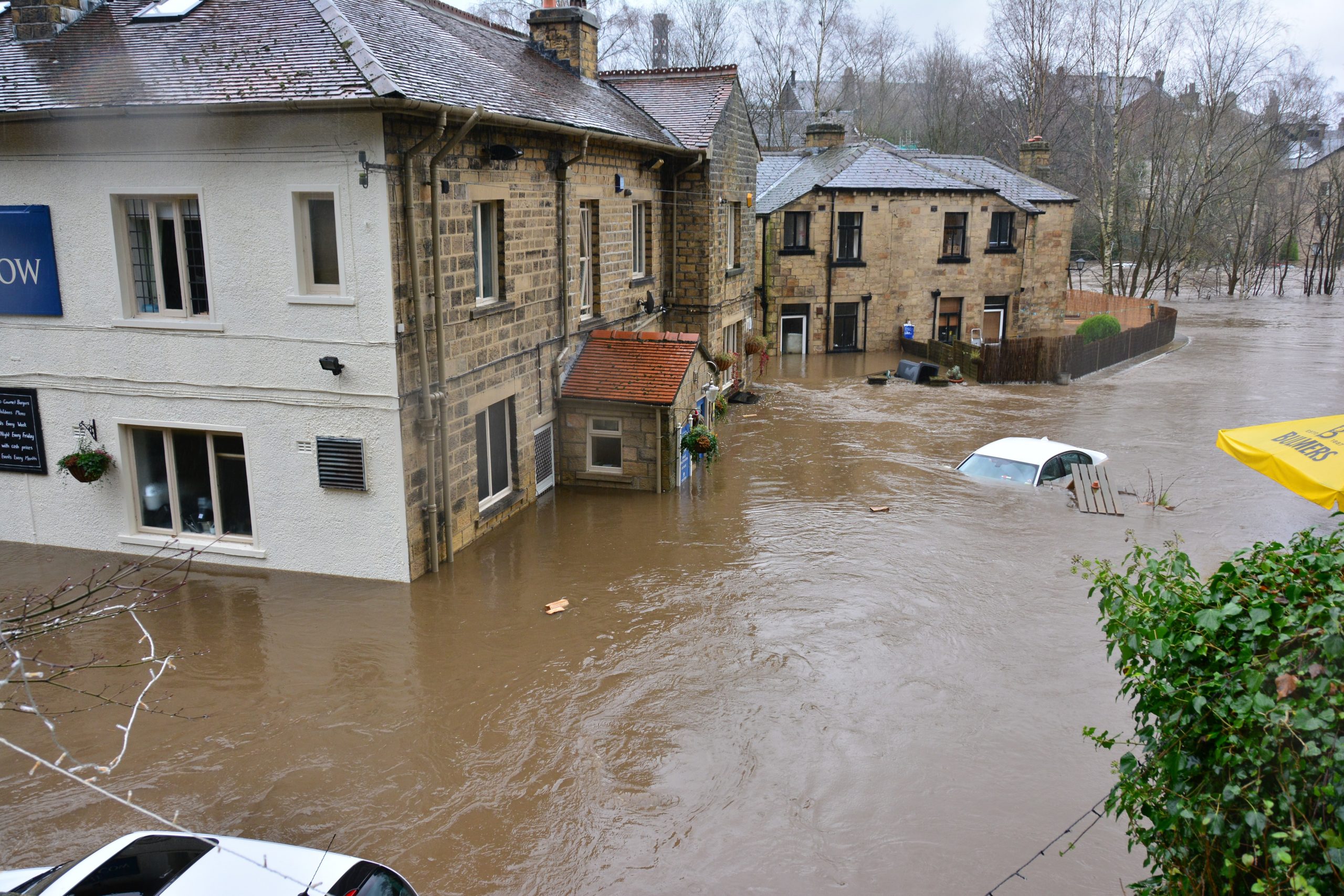
Figure 1 The study demonstrated a technique that looks for changes between a pre- and post-flood SAR image to identify flooded urban areas with a high accuracy using double-scatterers. (Image: © David Mason used with permission)
However, using these data to observe urban floods is much more complicated, since less of the ground is visible due to building shadows and layover effects. Furthermore, some signals may be confused by double-scattering between buildings and the ground (see Figure 1). Hence, currently there is little quantitative observation data that is routinely available globally in near-real-time to assist decision-makers in managing urban flood events.
Professor Sarah L Dance, NCEO Director of Data Assimilation, said:
In our paper, we have been able to use a technique that looks for changes between a pre- and post-flood SAR image to identify flooded urban areas with a high accuracy using double-scatterers. With some further development, the technique has potential for operational use for detecting urban flooding in near real-time on a global basis.
Read the full paper
Floodwater detection in urban areas using Sentinel-1 and WorldDEM data. Journal of Applied Remote Sensing, Volume: 15, Issue: 03, Pages: 32003. Feb 23, 2021. Authors: David C Mason , Sarah L Dance, Hannah Cloke.
About the author
Contact Professor Sarah L. Dance for further information
University of Reading and NCEO, Co-Director of Data Assimilation